NEWEST HOT TOPICS AND START OF NEW WEBSITE

NEWEST HOT TOPICS AND START OF NEW WEBSITE
Population Engineering and the Fight against Climate Change . .
Pg 1 – Threat posed by climate change justifies “population engineering” (Eliminating people)
Pg 2 – Geoengineering (weather weapons) along with reducing consumption related waste, renewable
energy, reducing human fertility rates is morally justifiable.
Pg 4 – Relocating climate refugees
Pg 5 – Global GHG emissions must decline to near Zero
Pg 15 – Earth “cannot” sustain larger populations of wealthier individuals
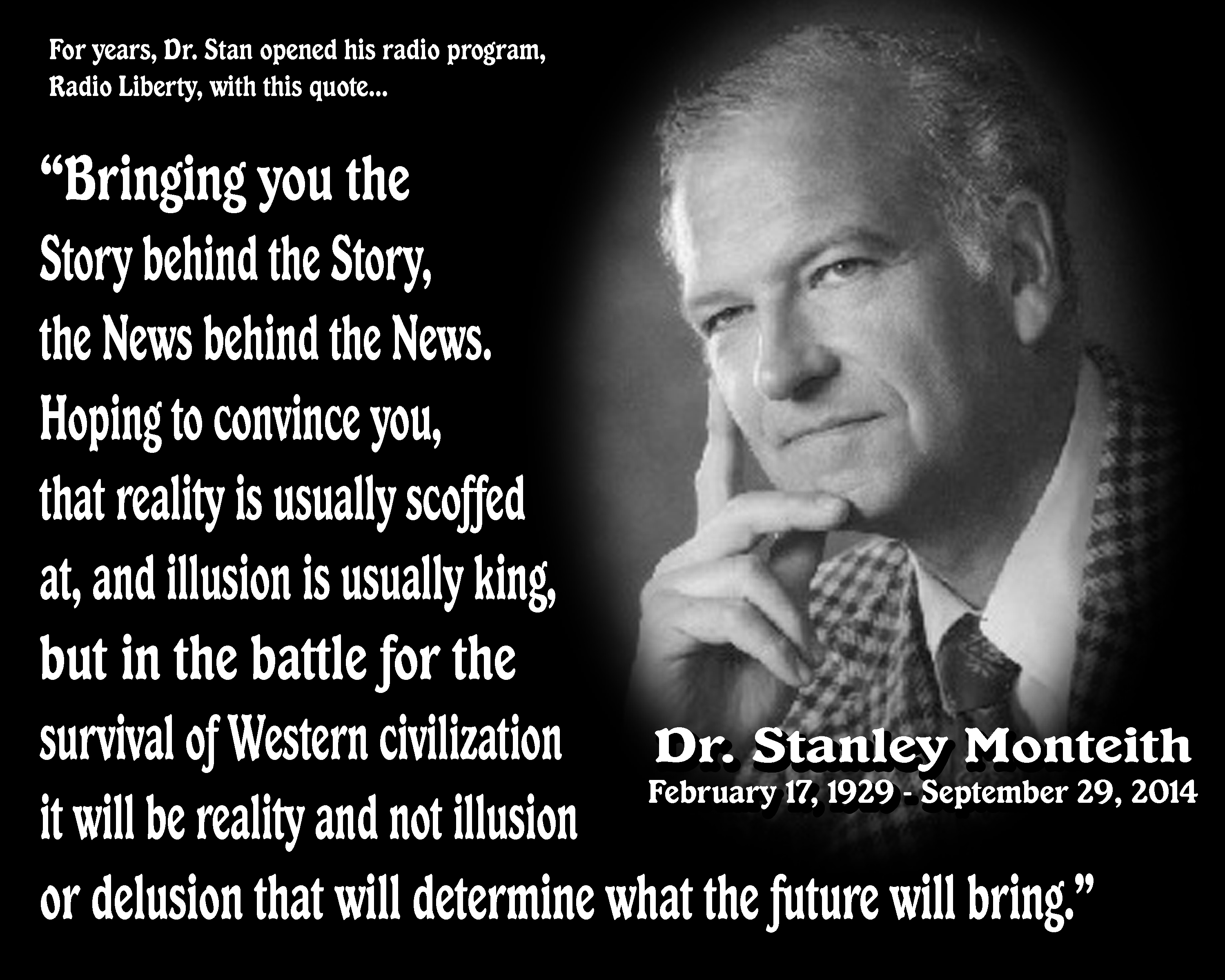
HEALTH SYMPTOMS FROM ALL WIRELESS DEVICES
PG&E/SoCal Edison – Understanding EMF Fields Bill Insert
BEAMFORMING EXPLAINED IEEE
NEWEST HOT TOPICS AND PREVIEW OF NEW WEBSITE
Enhancing Humans for WAR! Defense Dossier . . .
Page 13: U.S. Adversaries Enhancing Humans for War?
Former U.S. Deputy Secretary of Defense Bob Work has made it clear that our adversaries ”
are pursuing enhanced human operations, and [that] it scares the crap out of us.”
www.afpc.org/files/defense_dossier_issue_20.pdf
ADVISORY: THOUGHT POLICE TECH is HERE: Predictive policing in New Orleans . . .
Directed Energy Weapons (DEW) –
Global Market Outlook (2017-2023)
https://www.prnewswire.com/news-releases/directed-energy-weapons-dew—global-market-outlook-2017-2023-300509457.html
LONDON, Aug. 24, 2017 /PRNewswire/ — According to Stratistics MRC, the Global Directed Energy Weapons (DEW) market is expected to grow from $8.12 billion in 2016 to reach $41.97 billion by 2023 with a CAGR of 26.4%. Rising demand for non-lethal deterrents and growing demand for the use of naval weapons in naval forces across the world are some of the major factors favoring the market growth. On the other hand huge development costs, strict industry regulations and lack of testing facilities are restricting the market growth.
Download the full report: https://www.reportbuyer.com/product/5015405/
NEWEST HOT TOPICS AND PREVIEW OF NEW WEBSITE
“Lawfully Yours” – a People’s Empowerment Guide to Our Corrupt Corporate-Commercial Illegal System
WATER WARS ………….PRIMARY WATER ……….KIDS FOR PROFIT………..LAND / WATER THEFT………..
UNITED WE STRIKE Radio Show 2016 02
HOT TOPICS AND DOCS ……………..GLOBAL Strategic WAR PLANS…………… ARAMARK
QUICK LINKS / WEBSITEMAP
|
|
|---|

 ………
……… 
|


.jpg)


Please print and distribute the following document
|
|---|

“The individual is handicapped, by coming face-to-face, with a conspiracy so monstrous, he cannot believe it exists. The American mind, simply has not come to a realization of the evil, which has been introduced into our midst . . . It rejects even the assumption that human creatures could espouse a philosophy, which must ultimately destroy all that is good and decent.”
FBI Director J. Edgar Hoover, 1956
08/19/2013 The Power Hour with Joyce Riley
MAYDAY: WWIII and the SILENT WEAPONS FOR QUIET WARS
URGENT WARNING – AMERICA – LEAKED DOCUMENT . . . FREQUENCY ATTACK PLAN
EXTINCTION Plan for Humanity DEPLOYED – Silent Weapon System
Watch this short video – and weep! Education and Frequencies are WEAPONS . . .
Deborah Tavares – What Standing UP Looks like . . . . when you KNOW something is VERY WRONG . . .
ARTICLE YOUTUBE
We MUST live in right conduct and do the right thing . . We CANNOT be silent anymore . . WE ARE THE MEDIA . . .During the events of my arrest I did NOT fully know what I NOW know . . . I did NOT know there was a Declaration of WAR!
MUST WATCH – Smartmeters A-Z
Deborah Tavares YouTube Below
GLOBAL INVENTORY by the BANKERS and NEW Species Discovered . . . Cross Between a House Cat and a . . . WE CAN EXPECT NEW SPECIES TO BE DISCOVERED. . . and here’s why –
Deborah Tavares – Stop The Crime
UWS Marathon – August 2013
07/25/2013 Ground Zero Media – Clyde Lewis w/ Deborah Tavares
Corresponding Article
“The high office of the President has been used to foment a plot
to destroy the American’s freedom and before I leave office, I
must inform the citizens of this plight.”
-President Kennedy was assassinated on the
22nd of November, 1963 ten days after he
made this speech to Columbia University
on Nov 12, 1963.
He knew what you are finding out now.
“Who controls the food supply controls the people;
who controls the energy can control whole continents;
who controls money can control the world.”
Henry Kissinger
There are two ways to be fooled.
One is to believe what isn’t true;
the other is to refuse to believe what is true.
Soren Kierkegaard (1813-1855)
“If a nation expects to be ignorant and free in a
state of civilization, it expects what never was and never will be.”
–Thomas Jefferson, 1816.
“No people will tamely surrender their Liberties, nor can any be easily subdued, when knowledge is diffused and Virtue is preserved. On the Contrary, when People are universally ignorant, and debauched in their Manners, they will sink under their own weight without the Aid of foreign Invaders.”
– Samuel Adams

“The individual is handicapped, by coming face-to-face, with a conspiracy so monstrous, he cannot believe it exists. The American mind, simply has not come to a realization of the evil, which has been introduced into our midst . . . It rejects even the assumption that human creatures could espouse a philosophy, which must ultimately destroy all that is good and decent.”
– FBI Director J. Edgar Hoover, 1956
“The duty of a patriot is to protect his country from its government.”
THOMAS PAINE (1737-1809)

————————–ADVERTISEMENTS—————————-