NASA accidentally shows proof of Large-Scale Weather Manipulation in satellite images
3 years ago
As a participant in the Amazon Services LLC Associates Program, this site may earn from qualifying purchases. We may also earn commissions on purchases from other retail websites.
Is this a massive conspiracy? Or is it possible that NASA really is playing around with our weather on Earth?
Many people would most likely agree we are looking at a massive conspiracy, while others believe the evidence is right in front of us.
This year’s Caribbean hurricane season has turned ‘weather’ into a dominant subject in the world.
Catastrophic damage has been witnessed in the Caribbean, where entire Islands were swept away by the incredible power of mother nature. However, is this just mother nature’s work, or is there something ELSE going on?
For decades have ‘conspiracy theories’ about weather control circulated the internet, and rumors of weather control by the government have become ever so popular.
What was considered as an impossible feat, today is possible thanks to decade-long geoengineering efforts that have given us the ability to control the weather: resulting in a two-way street that can destroy our planet as much as it can help.
Climate engineering commonly referred to as geoengineering, also known as climate intervention, is the deliberate and large-scale intervention in the Earth’s climatic system with the aim of affecting adverse global warming.
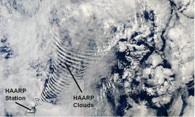
So where is that EVIDENCE? Where can I see with my own eyes that our weather is actually being manipulated?
Well, see for yourself.
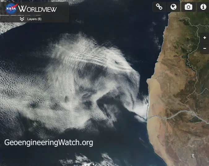
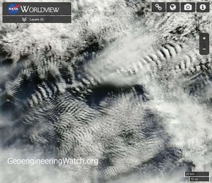
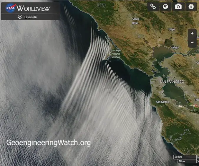
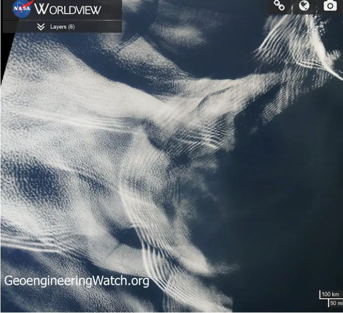
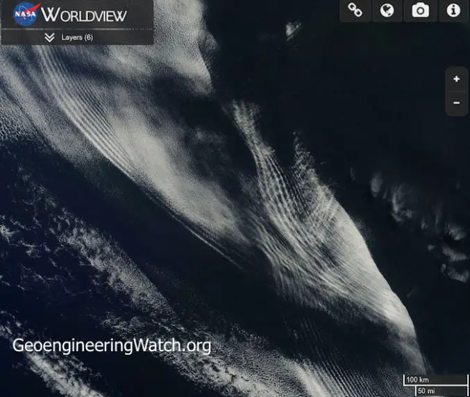
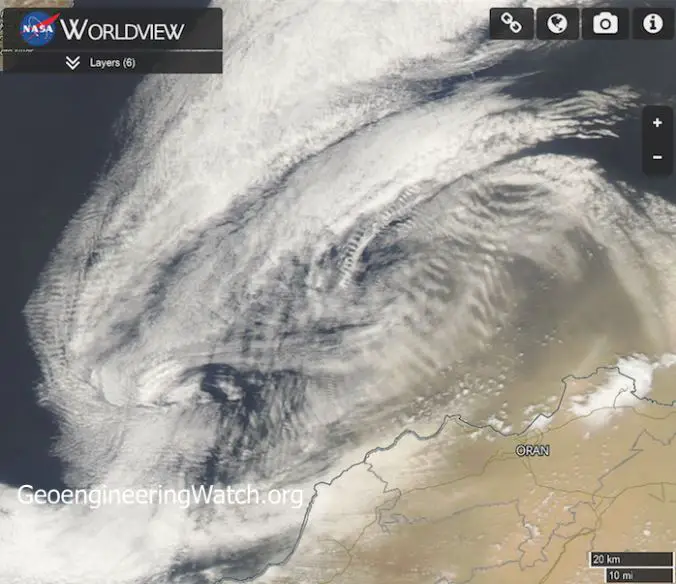
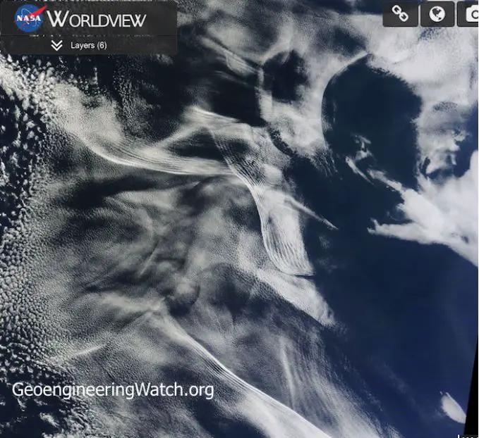
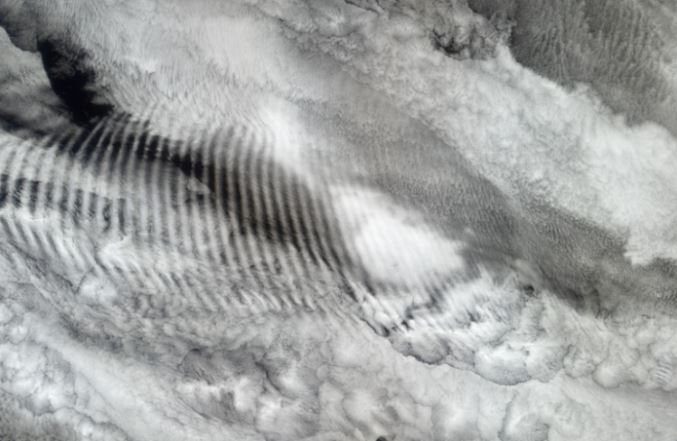
Africa’s coastal regions are a hot zone for weather geoengineering efforts even though they are referred to by mainstream media as nothing more than the result of “dust” in the air, notes Dane Wigington who quotes an excerpt from a Fox9 News article:
“Right now, much of the Gulf of Mexico and parts of the Caribbean have slightly warmer than normal ocean temperatures which would normally aid in tropical development.
“But there is so much dust and dry air in the atmosphere that storms are getting choked off before they even get started.”